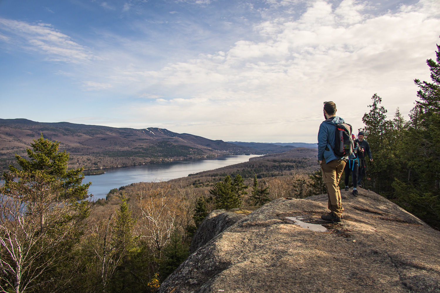
It had been a long time since we'd done any hiking, and autumn without hiking isn't really autumn. So we decided to go for a hike at Green Mountain. It was a nice surprise, a very pleasant hike, not too difficult and with beautiful views. We were too late for the colors and that's a real shame, because the view must have been even more magnificent with the trees in all their colors. Maybe next year.
Presentation
Montagne Verte is a hiking site outside the SEPAQ or other regional parks. Access is therefore free. Parking is rather limited (see below), so you'll need to arrive early if you're during a popular period like color season.
The hike departs from the Montagne Verte parking area and comprises a loop that passes over the summit of Montagne Verte, at 495m. It takes 1 h 30 to 2 h to complete the loop. You can extend the loop by going as far as the nez de l'indien. This adds around 3 hrs 30 min to the walk and takes you to the top of a second summit, the Nez de l'Indien at 483 m. This section is an out-and-back. We did the loop and the Indian Nose.
If you're keen, it's possible to push the round trip even further by going as far as chemin Thomas Robert, which adds another 3.3 km to the outward journey. There's parking there too. So it's possible to skip the round trip if you have two cars, one at each parking lot.
Practical information for hiking at Green Mountain:
- Where: Montagne Verte, Laurentians, Quebec (about 1 h 45 from Montreal)
- Hiking name: Boucle de la Montagne verte et Nez de l'Indien
- Length: 4.5km for the loop and 11km for the loop and the Indian nose.
- Total ascent: 750 metres
- Duration: 1h30 to 2h for the loop, 4h30 to 5h30 for the loop and the Indian nose.
- Difficulty: intermediate, some steep slopes
- Dogs allowed
It's possible to do the loop clockwise or anticlockwise. I think it's easier to do it clockwise, turning left at the first junction.
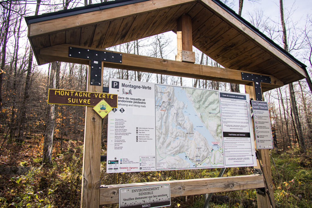
Parking:
Parking is free and easy to find. It is, however, of average size. In busy periods, you may not find a space. It's not possible to park in the surrounding streets.
There's a toilet in the Green Mountain parking lot.
The various hikes can also be accessed from the Thomas Robert Road parking lot. I don't know what it looks like, having never been there.
Recommended equipment:
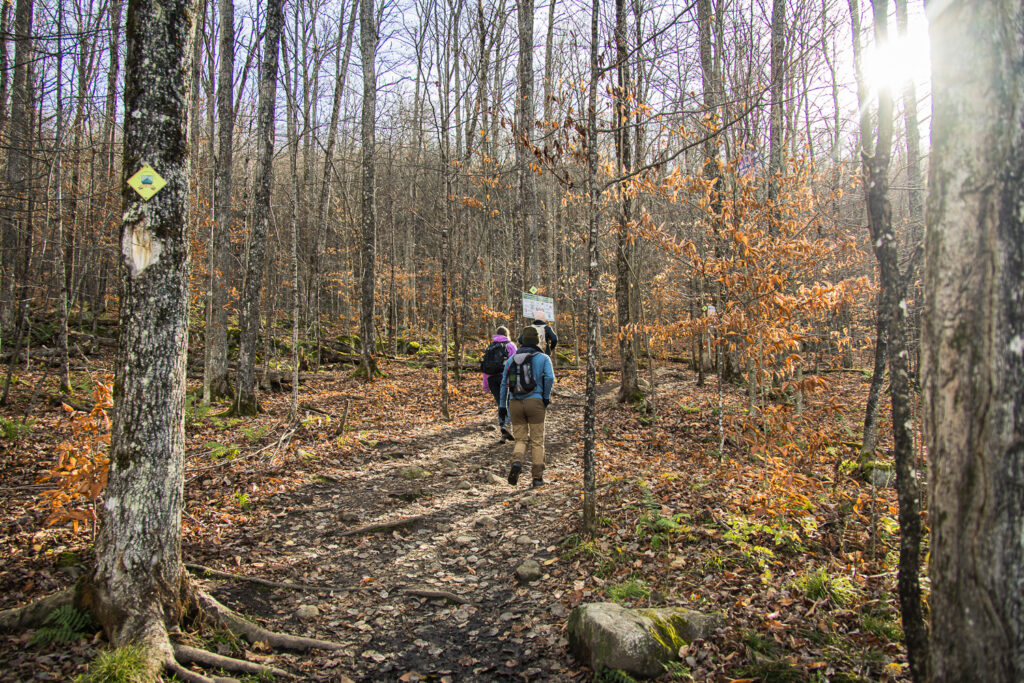
No special technical equipment is required. Hiking boots are highly recommended, however, as the paths are sometimes steep and the terrain can be muddy.
The summit of Green Mountain is a rocky headland, so avoid smooth shoes, as they can be slippery. The summit is also quite exposed to the wind, so a windbreaker is important to have too.
Winter hiking
The area is also open in winter. Trails can be explored in shoes, preferably with crampons, or on snowshoes.
Our experience and photo of our hike on Montagne Verte
We set off from Montreal and after about 1h45 of driving, we arrived at the Montagne Verte parking lot. There's plenty of room, it's one of the first cold days of the year and the colors were at their peak a week or two ago.
We do, however, come across a number of other hikers, both on the way up and on the way back. If you're looking for solitude and peace and quiet, consider another hike.
Green Mountain summit
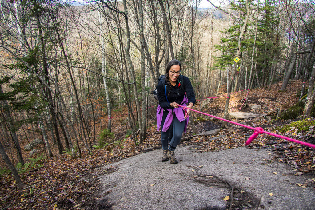
We take the loop to the left. We soon climb a slightly steep slope. It's perfect for warming up. The path is relatively easy off the slope, and the few tricky sections are equipped with a rope we can use to help us up.
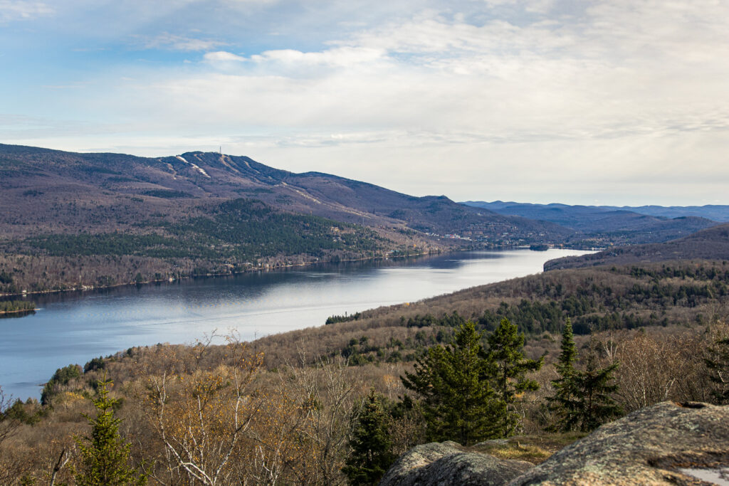
We soon reached the summit and enjoyed our first beautiful view of Lac Gervais and its mountain, a place I know for its walls. climbing. A little later we arrive at the viewpoint of Mont-Tremblant. The trees are bare, but I can easily imagine the magnificent scenery this view offers during the colors.
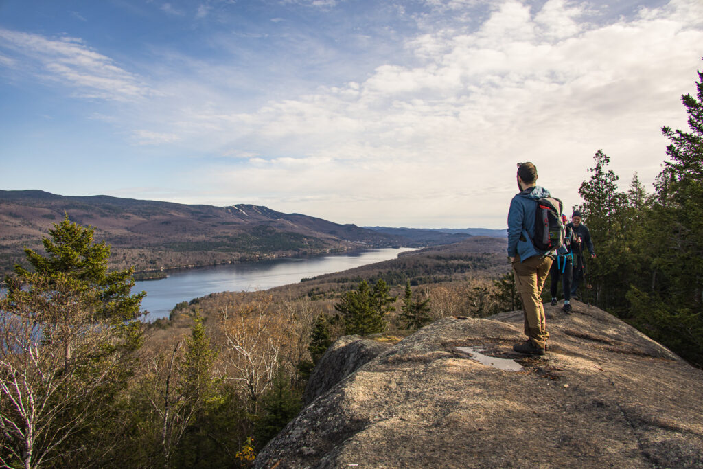
The summit is in fact a fairly large rocky plateau, where people seem to stop to eat and make fires (we can see many tracks even though this is normally forbidden...). We start the descent and when we reach the junction for the Indian nose we decide to continue to this second summit.
The Indian nose
After a steep descent into a kind of swamp, we continue on a fairly flat track for a while.
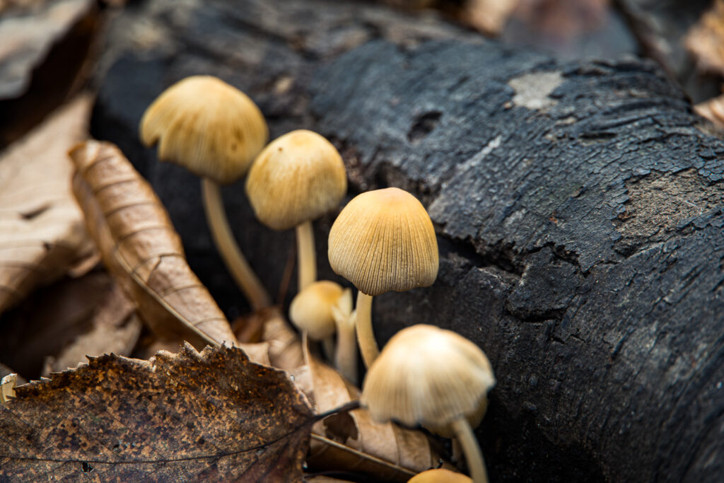
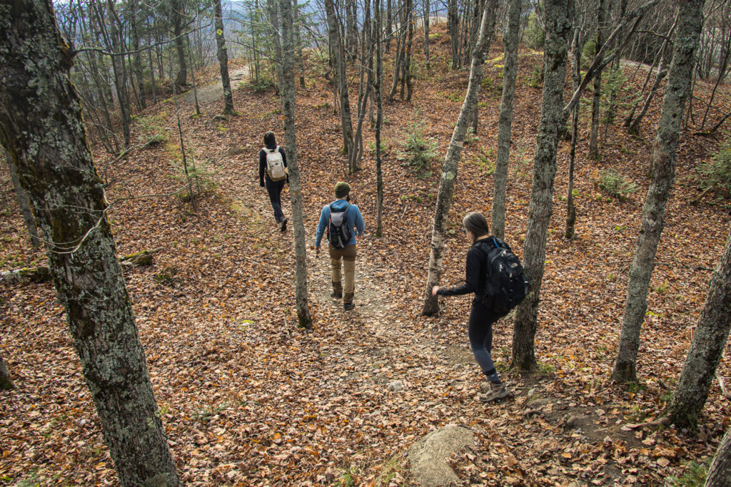
The biggest difficulty is probably the carpet of leaves on the ground, making the trail difficult to identify. Fortunately, there are plenty of signs hanging from the trees.
Then the climb to the summit begins again. We have some doubts about the route, as it feels like we're going around the summit rather than up. This is actually quite normal, as the only way up is on the other side of the mountain, the rest being cliffs that make passage impossible.
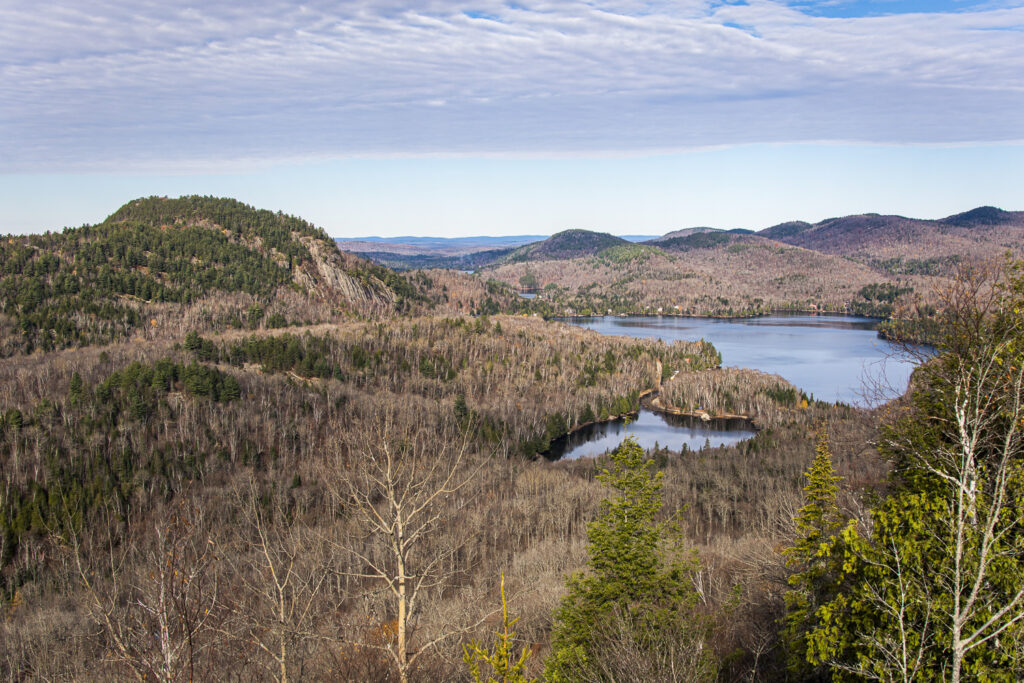
We reach the top of the nez de l'indien. In the end, it gives us a similar view, closer to Mont-Tremblant, and a fine view of the summit of Montagne Verte. We stay a while, then take the same route in the opposite direction back to the parking lot.
After 5h12 of walking, including a short lunch break, we're back at the car. In all, we covered 10.80km and 750m of ascent.
Enjoy the ride!

